PrestiGIS
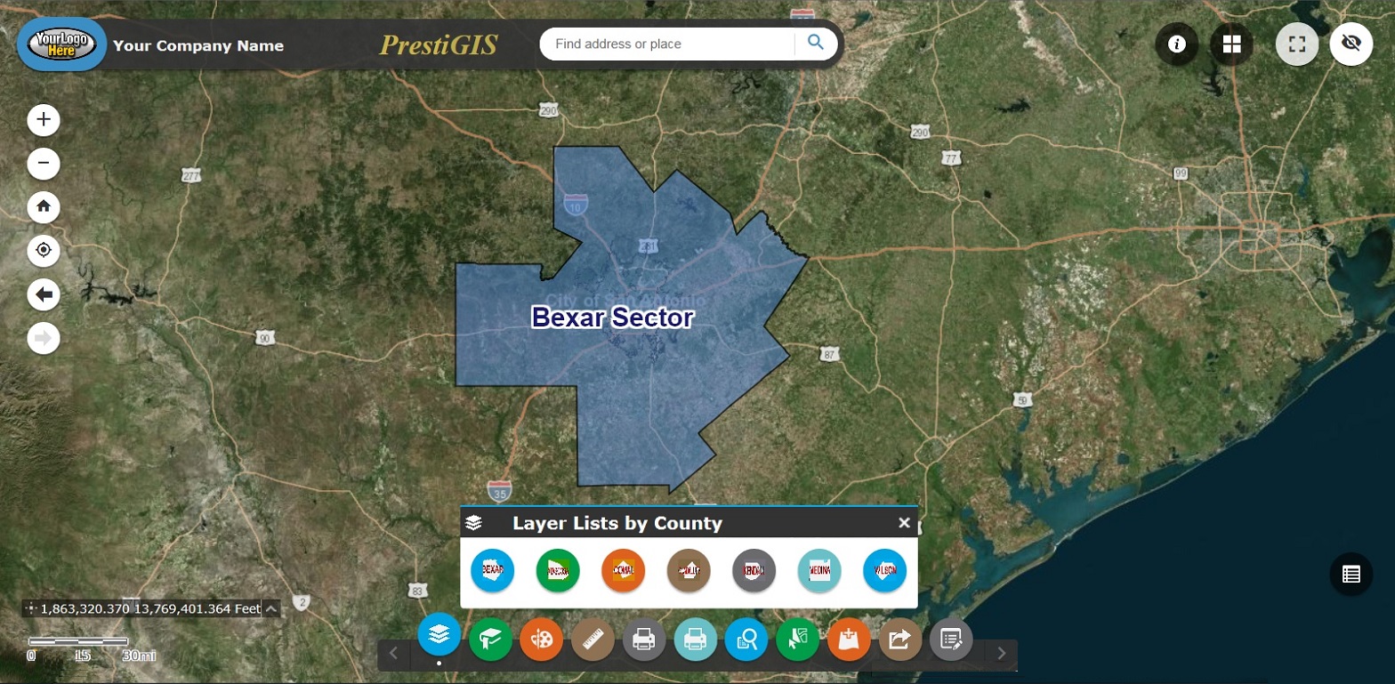
Geo Intelligent Systems offers a secure, customizable interactive map named PrestiGIS. This web based, intelligent map is compiled with multiple datasets from the major Texas metropolitan areas organized into sectors.

GIS Data Creation / Conversion
Geo Intelligent Systems can create GIS datasets as simple as shapefiles to complex as file geodatabases with relational tables and full domains. We can also convert CAD files to GIS files and vice versa while maintaining a high level of precision.

CAD Services
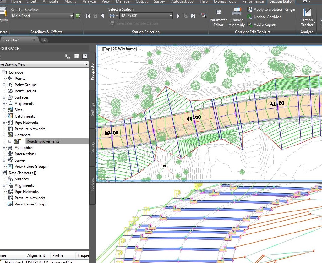
Geo Intelligent Systems has a team of CAD Designers capable of performing the drafting needs of our local Engineers. We specialize in Autodesk Civil 3D and can provide full support for even the most demanding Civil Engineering projects.
Next Steps...
Please contact Stephen Garza GISP, if you are interested in a live demonstration of our products.
Stephen Garza GISP - 210-289-3392
